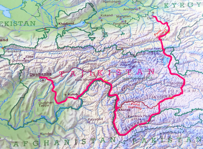
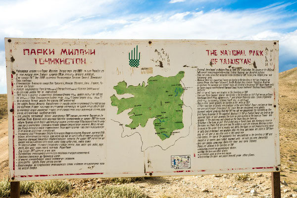
Tajikistan
The Tajiks, whose language is nearly identical with Persian, were part of the ancient Persian Empire that was ruled by Darius I and later conquered by Alexander the Great (333 B.C.). In the 7th and 8th centuries, Arabs conquered the region and brought Islam. The Tajiks were successively ruled by Uzbeks and then Afghans until claimed by Russia in the 1860s. In 1924, Tajikistan was consolidated into a newly formed Tajik Autonomous Soviet Socialist Republic, which was administratively part of the Uzbek SSR until the Tajik ASSR gained full-fledged republic status in 1929. Tajikistan declared its sovereignty in Aug. 1990.
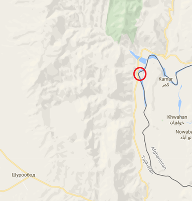
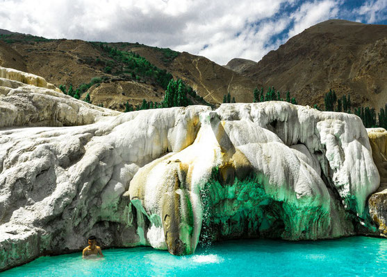
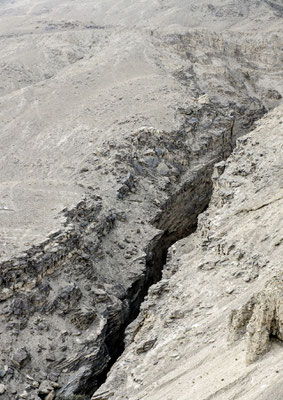
Earthquake: Eskashem Wakhan-Corridor: Wakhan
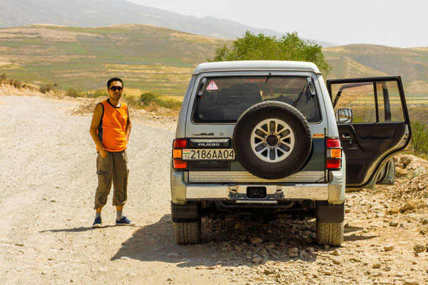
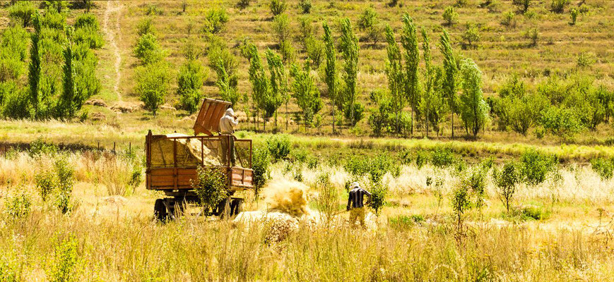
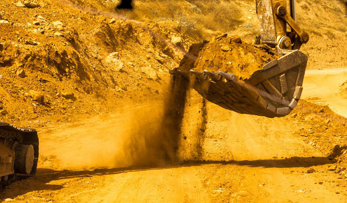
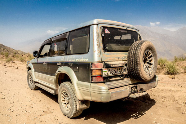
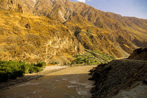
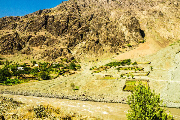
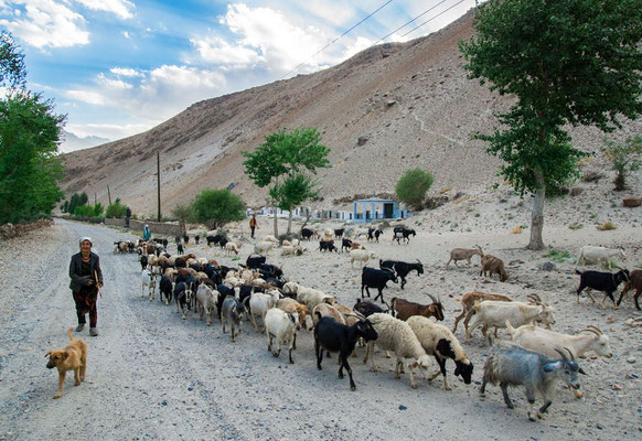
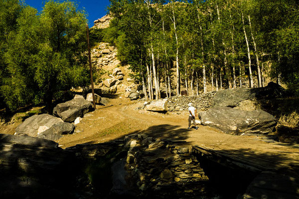
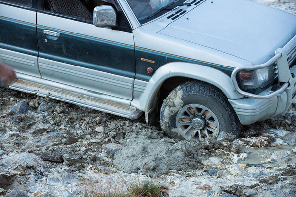
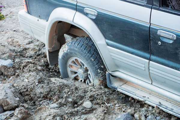
Dushanbe - Kulob - Kalaikum
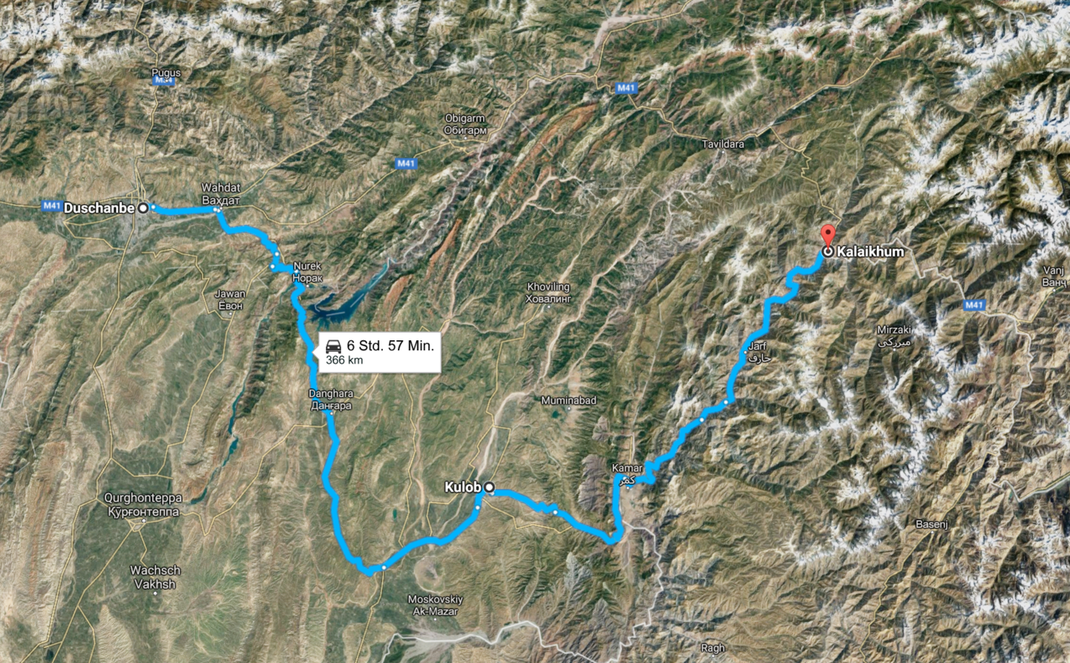
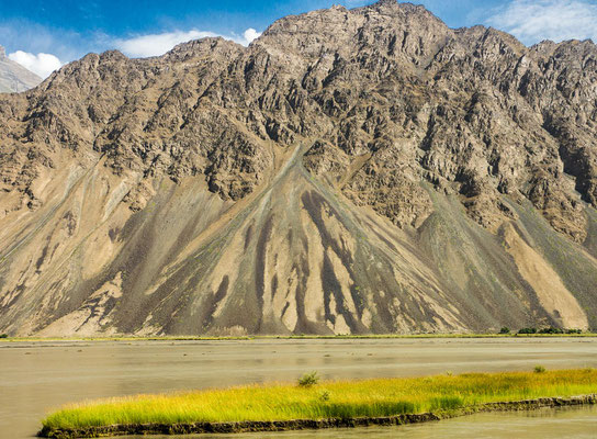
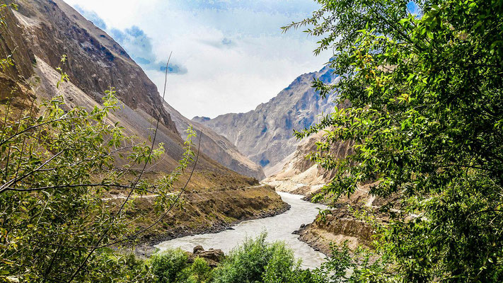
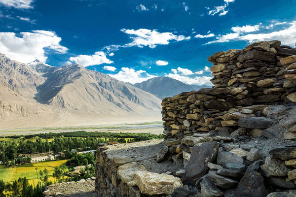
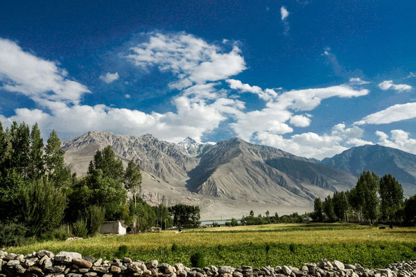
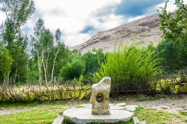
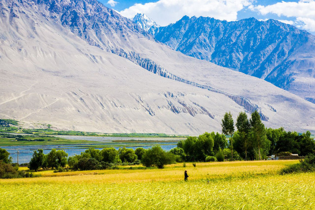
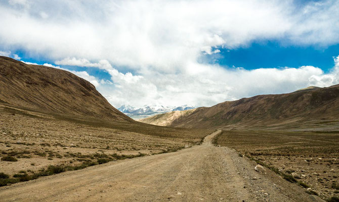
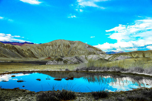
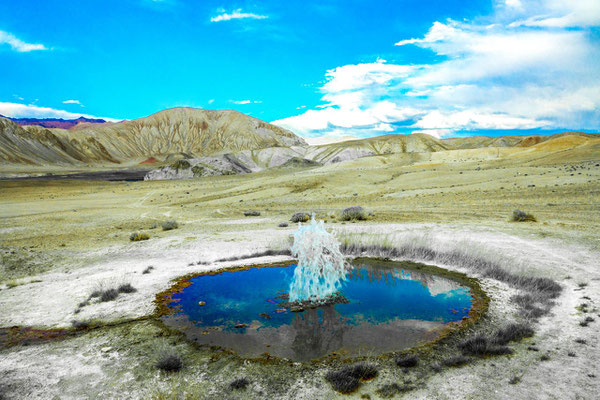
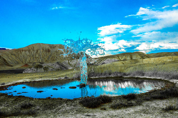
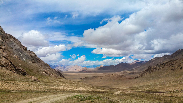
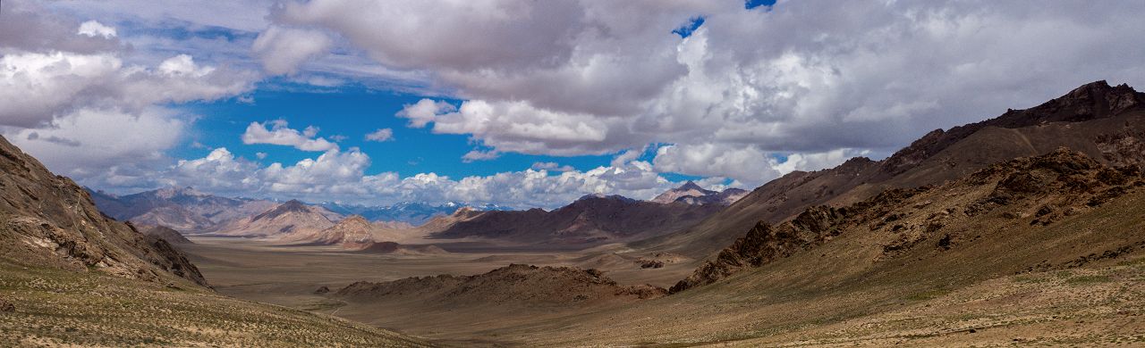
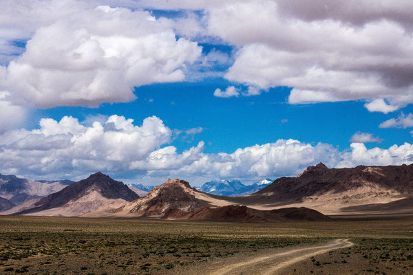
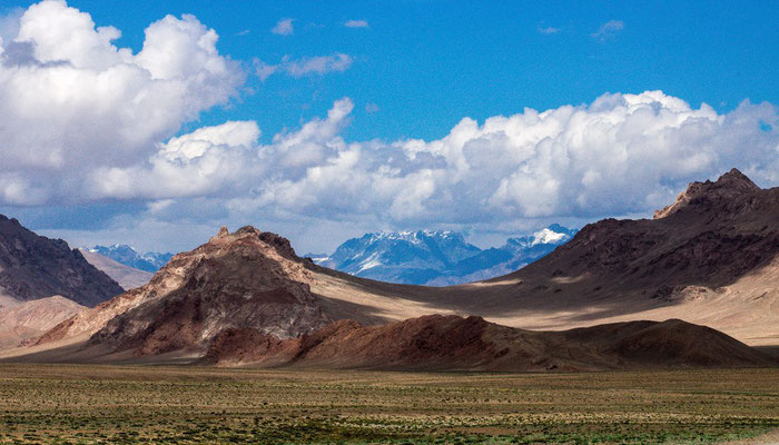
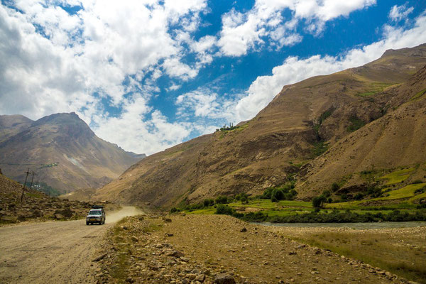
From Dushanbe to the Pamirs
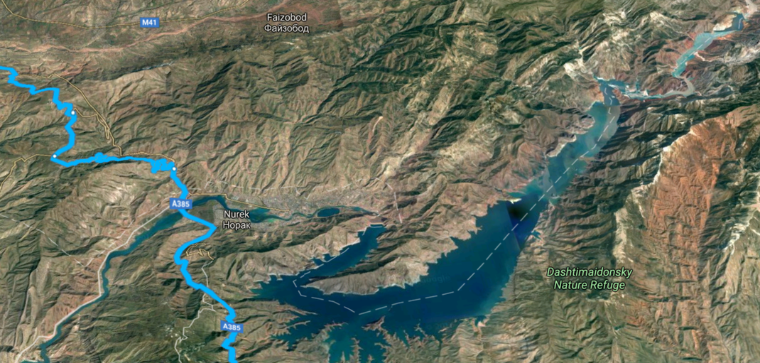
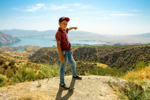
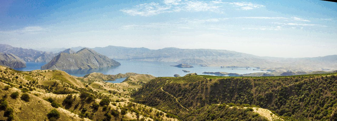
The Nurek reservoir
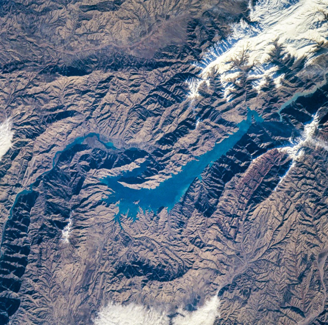
Image courtesy of the Earth Science and Remote Sensing Unit, NASA Johnson Space Center / From Image Analysis Laboratory, NASA Johnson Space Center, Mission-Roll-Frame: STS088-706-89_3 (http://eol.jsc.nasa.gov)
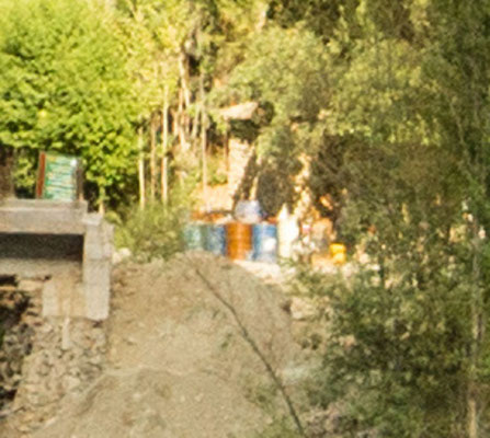
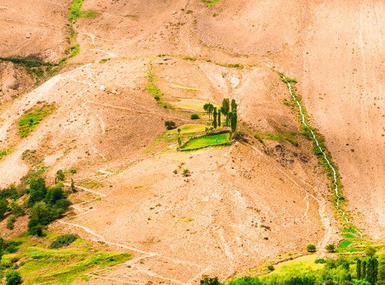
First view at Afghanistan

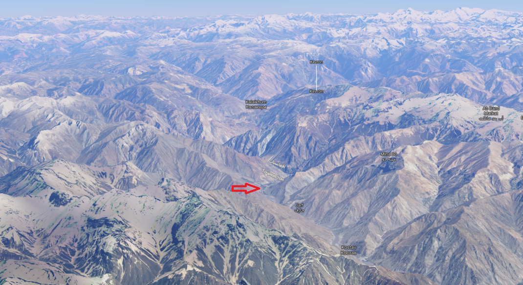
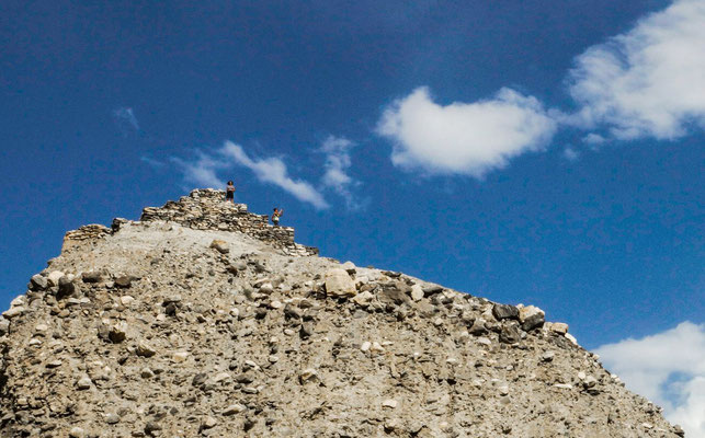
A first glimpse of the fascinating mountain world, so the impression of a perspective comes through.
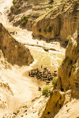
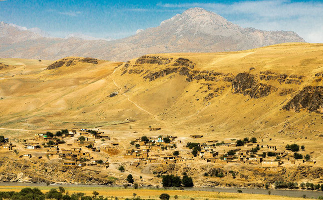
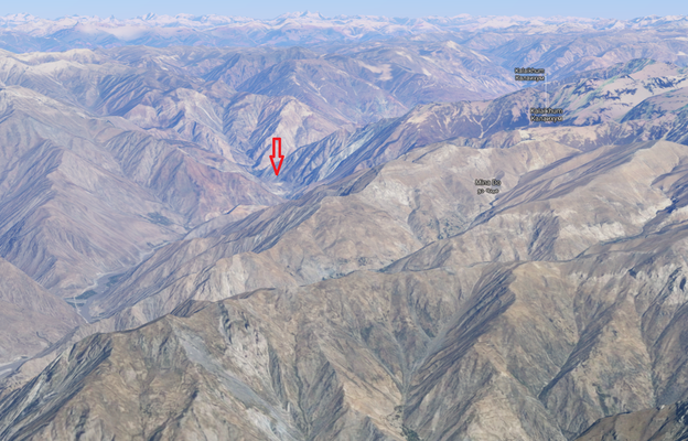
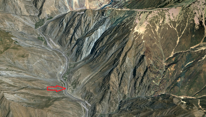
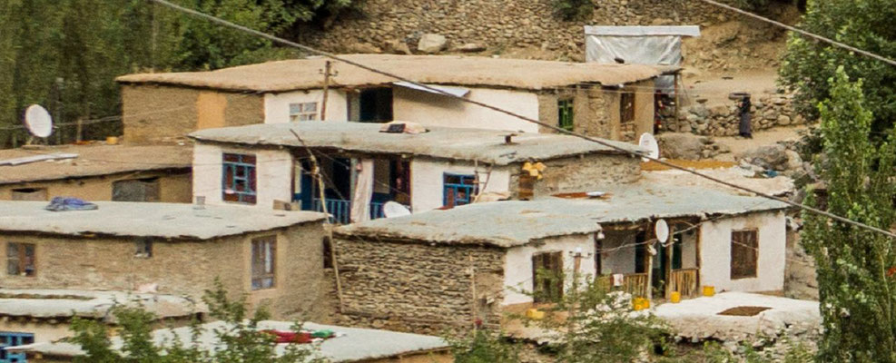
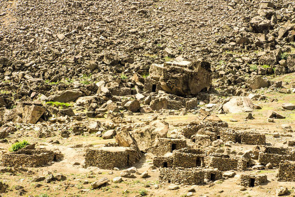
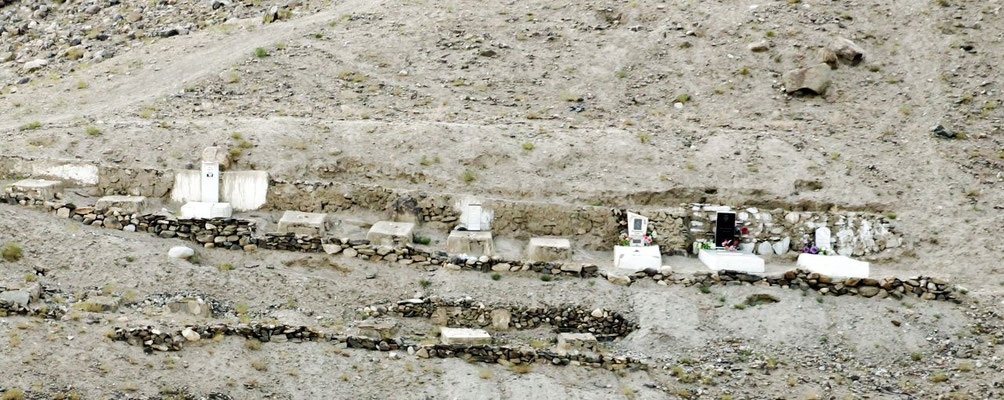
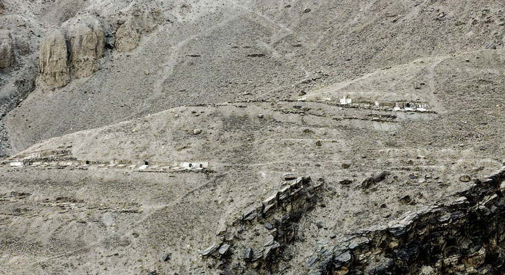
The arrow points to the Afghan village Zangerya (see pictures below)
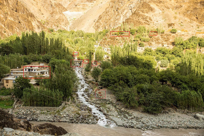
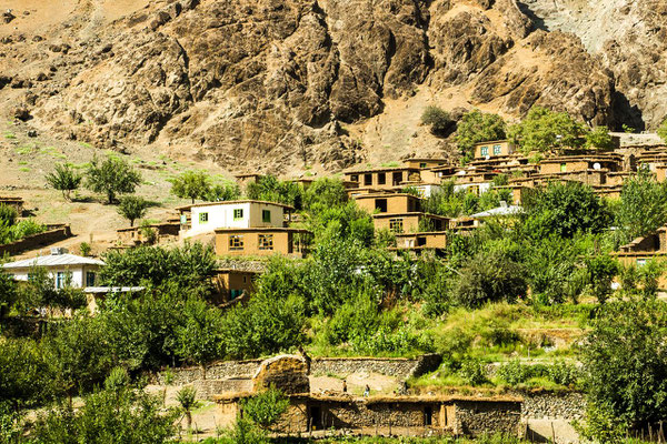
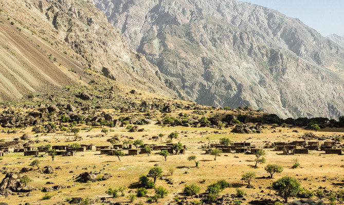
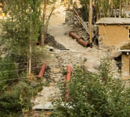
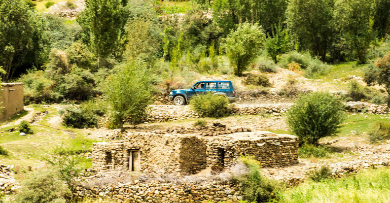
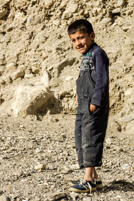
Impressions of live in the Afghan village named "Zangerya"
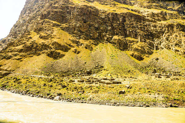
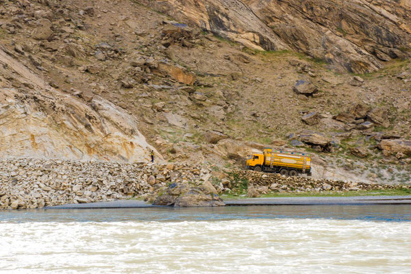
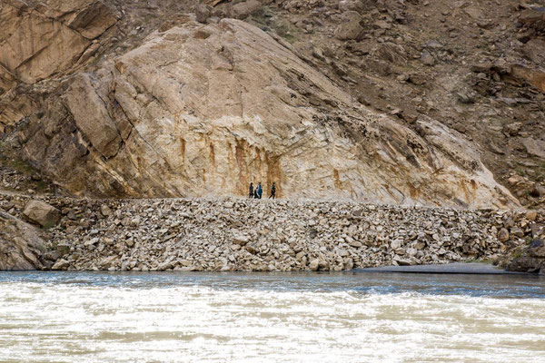
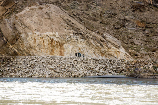
A village near the river Pjanj, who forms the border between Tajikistan and Afghanistan
At first contemplation nothing exceptional.
The pictures below show some details in the boxes marked in red
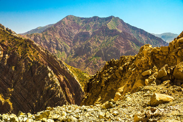
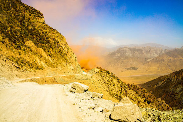
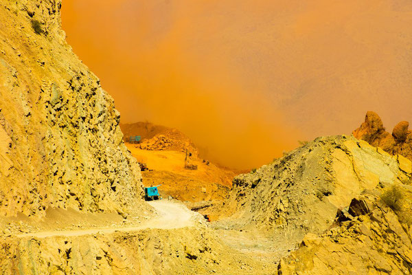
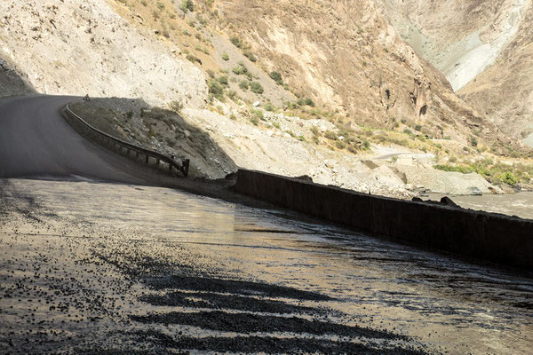
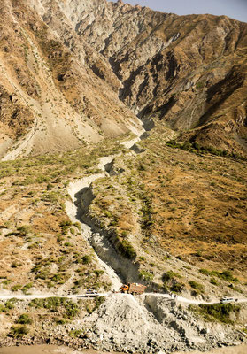
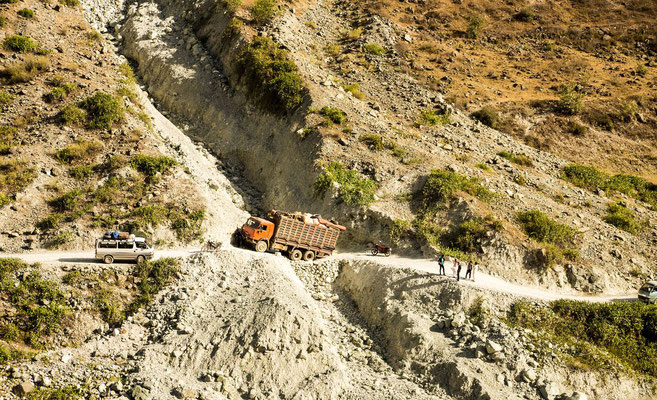
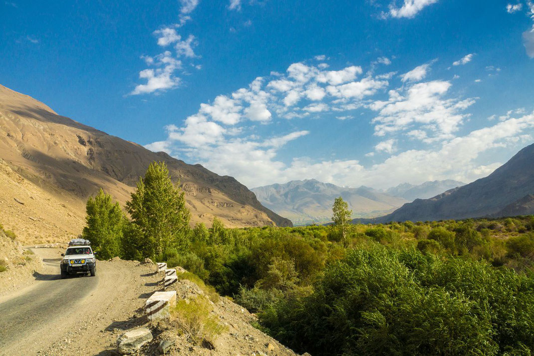
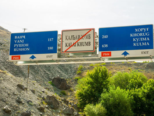
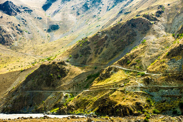
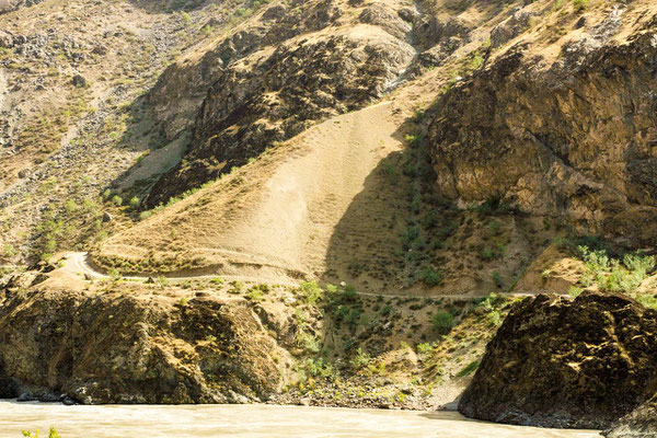
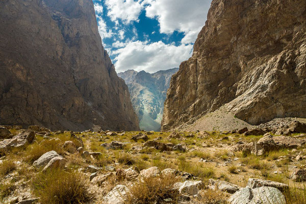
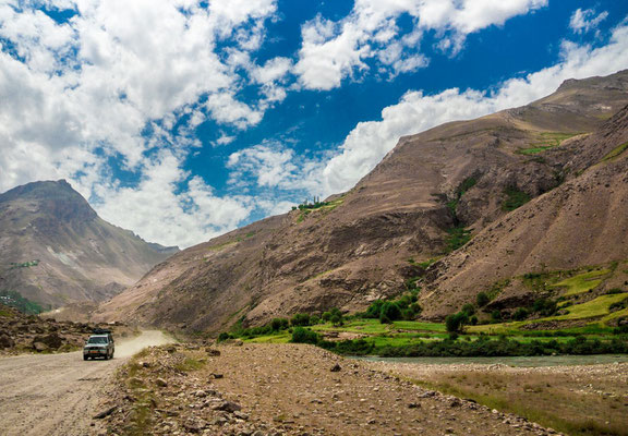
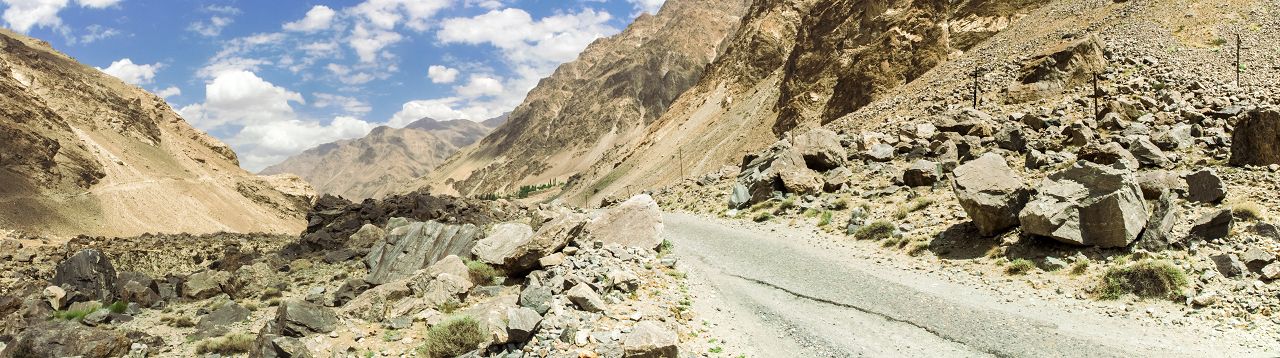
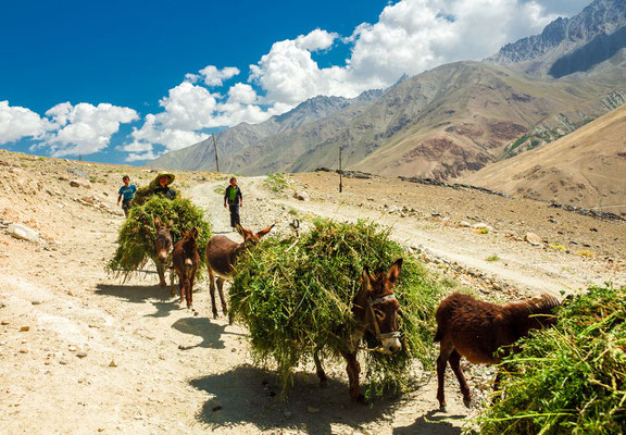
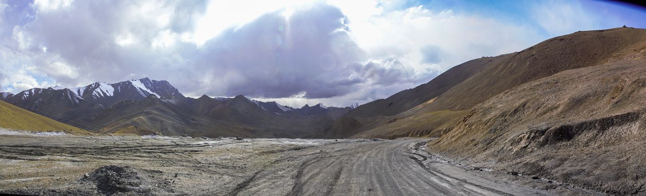
Kalaikum - Chorugh
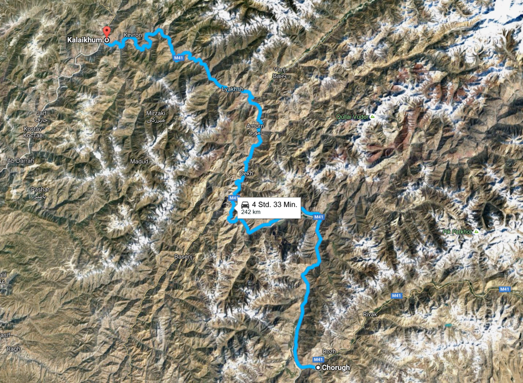
The road from Kalaikum to Chorugh, always along the Afghan Border
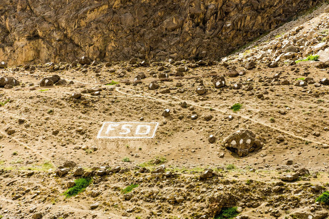
FSD Demining Operations in Darwaz, North Eastern Afghanistan
In September 2010 FSD commenced the first cross-border land release project between Tajikistan and Afghanistan initiating Humanitarian Mine Action operations in the less known Darwaz region of the Badahkshan Province in the North East Afghanistan. The Swiss Foundation for Mine Action (FSD), is an international mine action organization based in Geneva, Switzerland. FSD's focus is on locating and destroying landmines and unexploded ordnance to prevent accidents. FSD’s overarching aim is to alleviate and diminish the social, economic and environmental impacts of landmines and unexploded ordnance, thus creating favorable conditions for the reconstruction and development of war-torn countries.
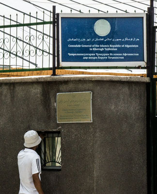
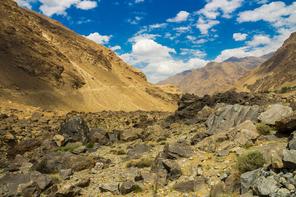
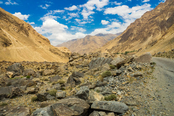
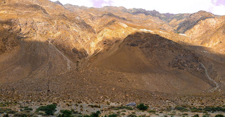
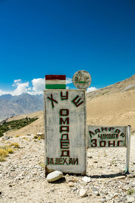
Chorugh - Eshkashem
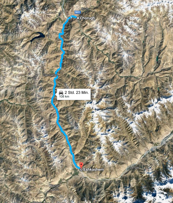
The road from Chorugh to Eshkashem, always along the Afghan Border
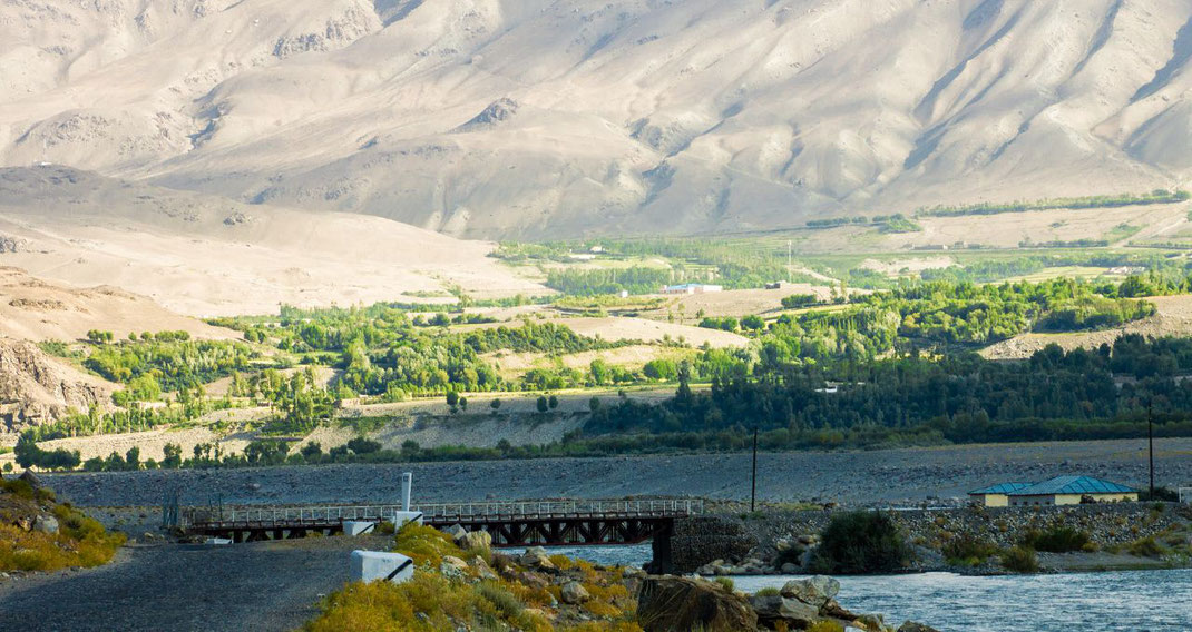
Eskashem - The bridge to Afghanistan
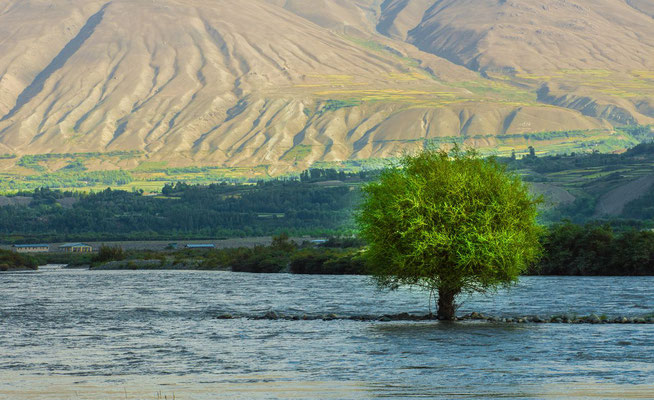
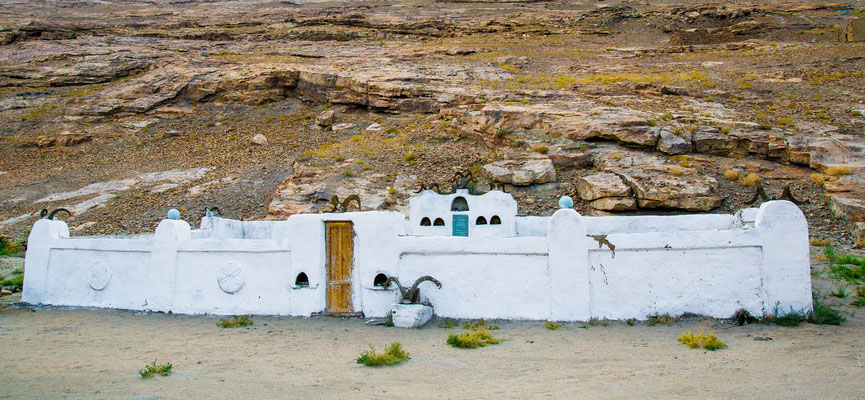
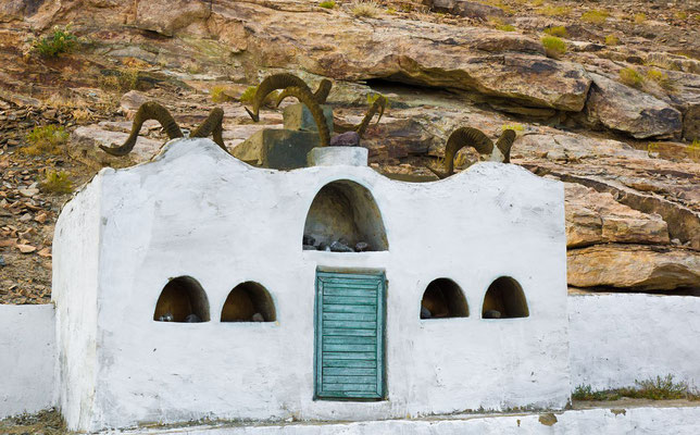
Eshkashem - Yamg - Langar - Vrang
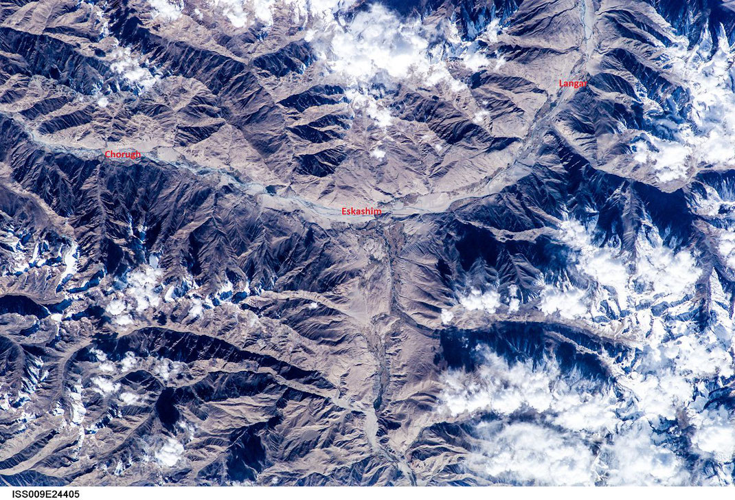
Image courtesy of the Earth Science and Remote Sensing Unit, NASA Johnson Space Center / From Image Analysis Laboratory, NASA Johnson Space Center, Mission-Roll-Frame: ISS009-E-24405 (http://eol.jsc.nasa.gov)
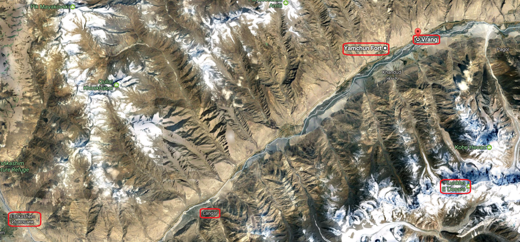
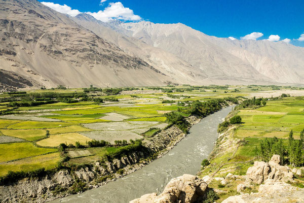
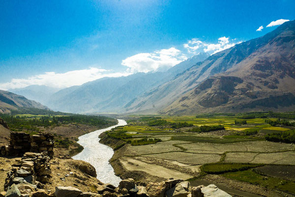

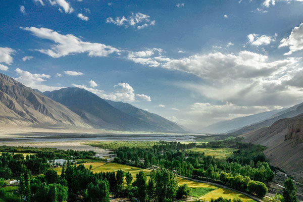


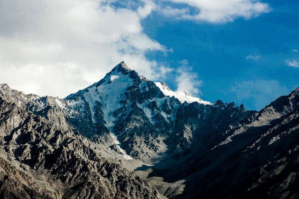

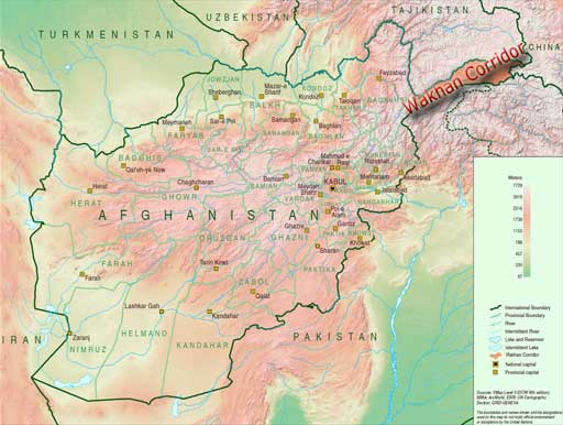
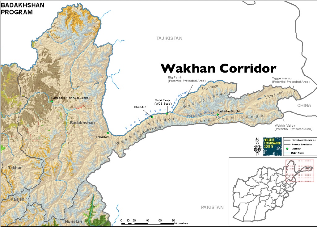
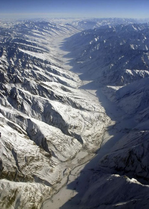
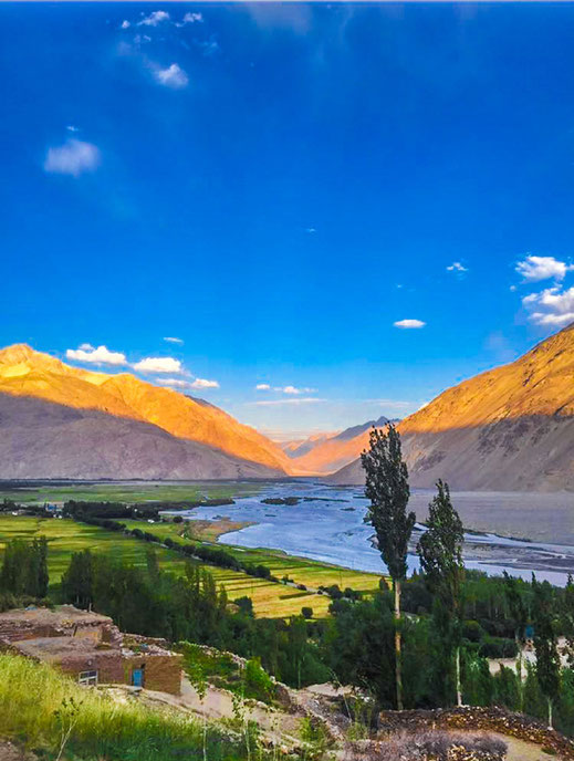
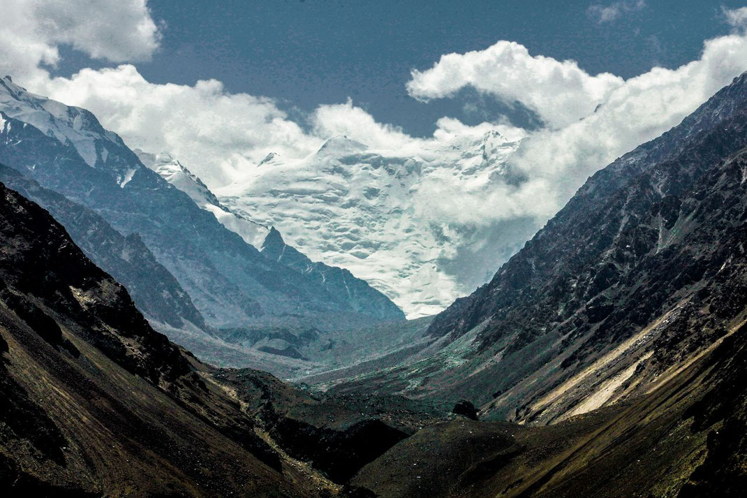
The Wakhan Corridor
This 300 km long Corridor, located in north-eastern Afghanistan bordering China, Tajikistan and Pakistan, is considered one of the most remote and difficult to access regions in this part of the world, but also one of the most stable.
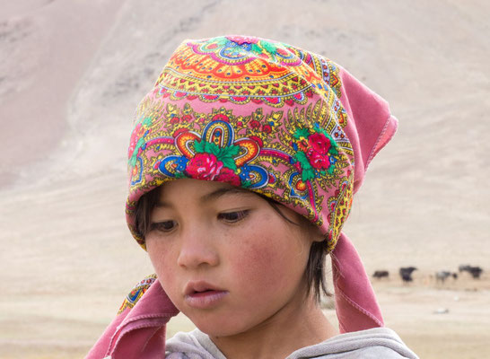
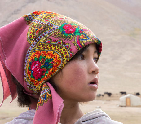
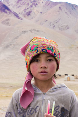
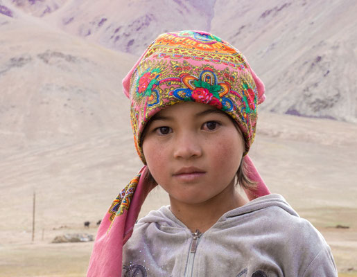
Populated by two tribes, the Wakhi and the Kyrgyz, who live in peaceful coexistence while both trying to survive in a great expanse where the altitude and lack of resources render it practically uninhabitable. The first, farmers and Ismaili Muslims and a people whom, according to certain anthropological theories, are descended from Alexander the Great. The second, a nomadic herding tribe of Sunni Muslims whose Asian features suggest Mongolian lineage.
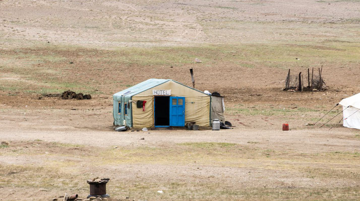
Their seasonal villages of yurts spread across the furthest and highest reaches of the Corridor.
Infos Wikipedia: Wakhan Corridor
Both photos show the Wakhan Corridor. Left from the Peak Karl Marx, right at Gāz Khun, Afghanistan
Left from the Wakhan River the Wakhan Range, foothills of the Big Pamir.
Right from the Wakhan River, in the foreground the foothills of the Hindukush, behind them the Karakoram Range
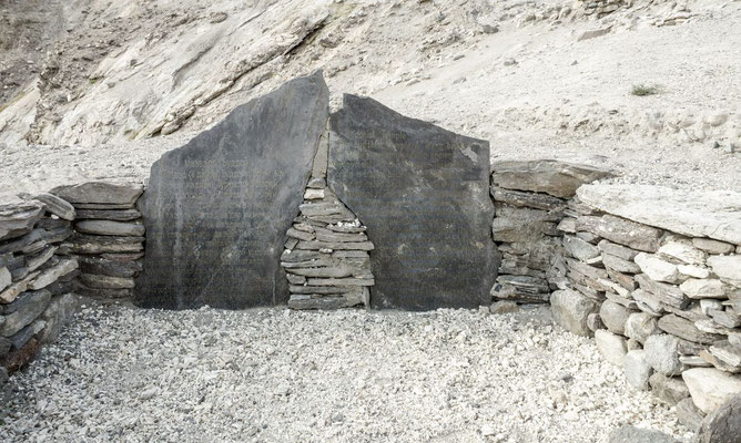
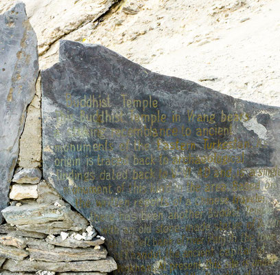
http://www.travelwakhan.com/vrang-stupa-wakhan/
From Langar we drove to Vrang. There is a small stupa with a footprint of Buddha's stone - the only indication that the Whakhan Valley was once Buddhist.
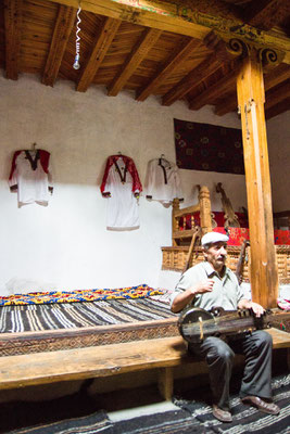
The pamirish house of the universal scholar Mubarak Kadam Wakhani (1843–1903) in Yamg, who lived and researched in the valley in the 19th century, is now a museum and testifies to the many talents of this man: he was an Sufi mystic, astronomer, poet and musician who built his instruments himself. Aydar Malikmamadov, the gentleman who told me the history of this Sufis was visibly proud of his ancestor.
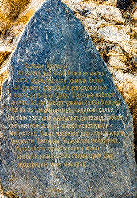
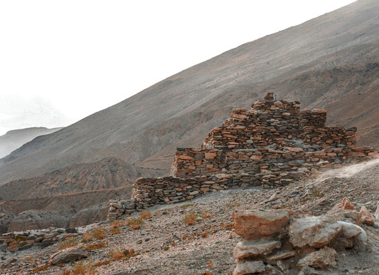
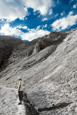
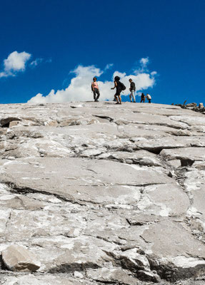
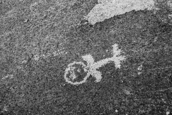
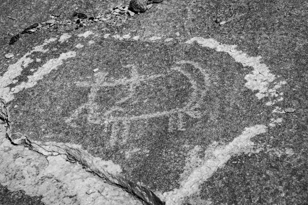
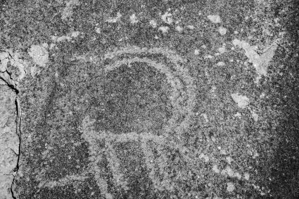
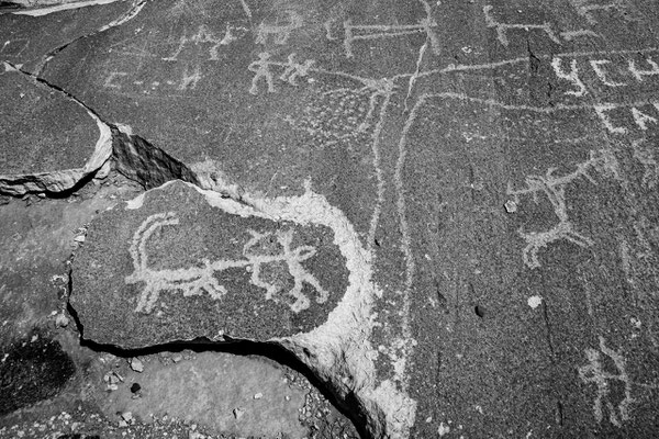
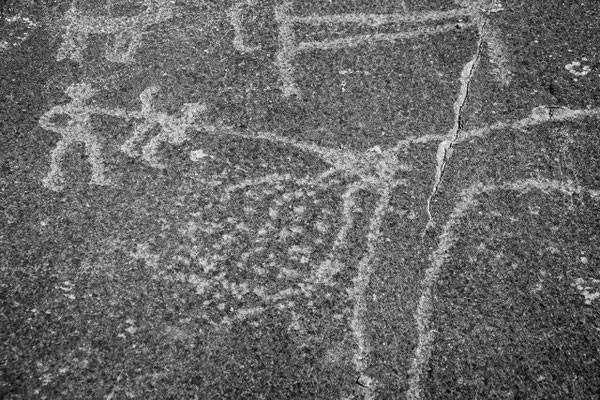
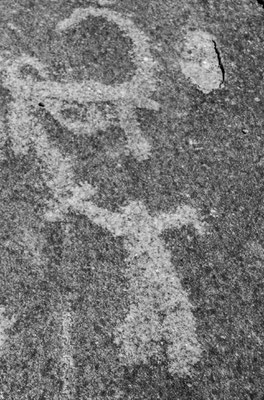
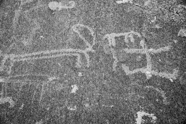
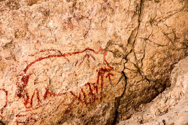
Langar Petroglyphs
The rock faces on the steep slopes above Langar are inscribed with over 6000 ancient petroglyphs. Climbing to see them is hard work in the high altitude and it gets very hot on the unshaded scree slopes, but the effort is rewarded with grand views across the confluence of three rivers.
Langar - Vrang

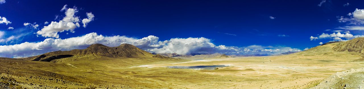
Vrang - Alichur
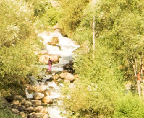
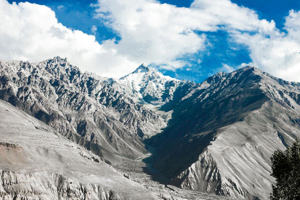
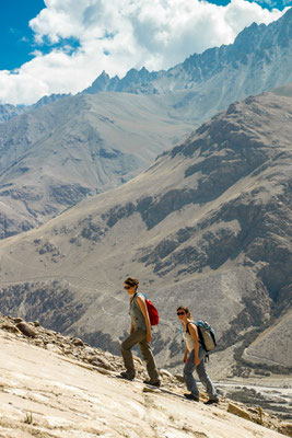
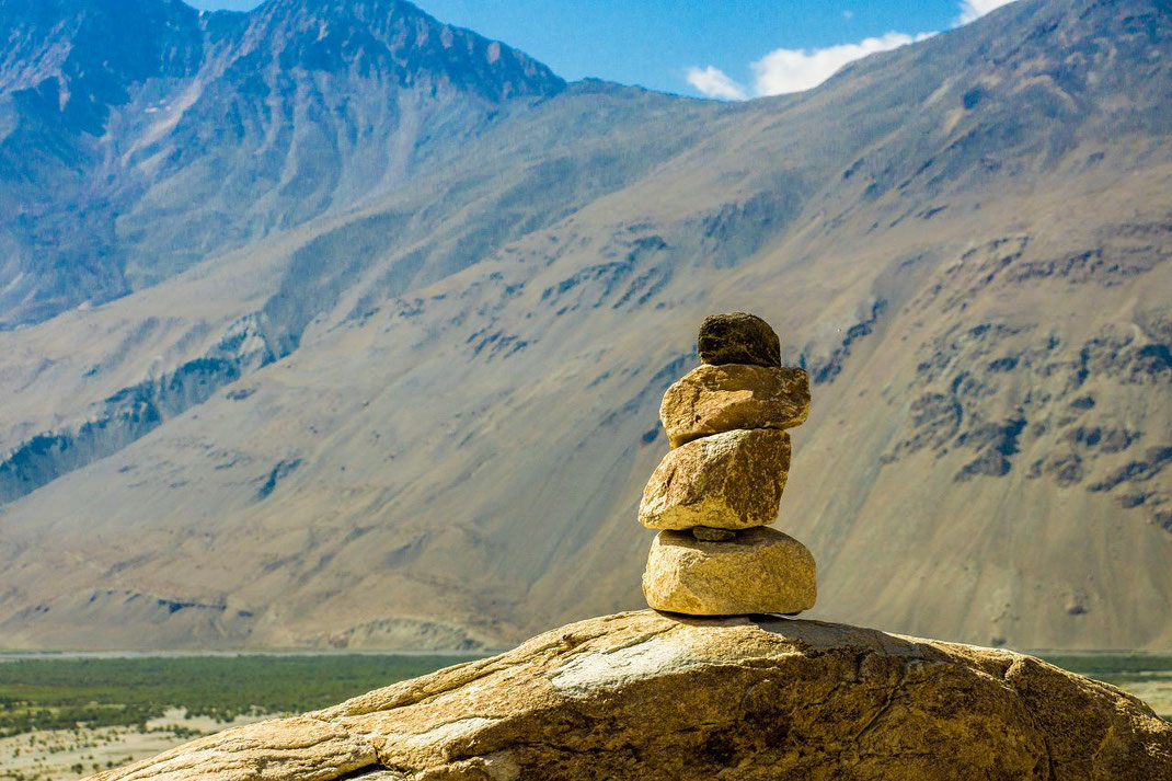
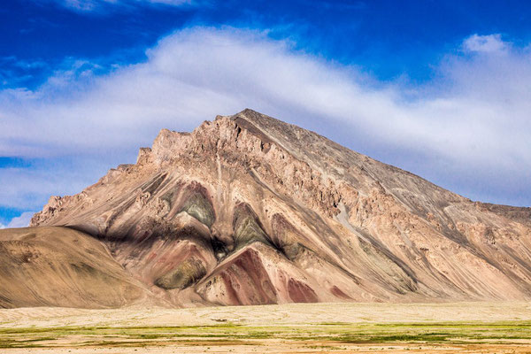
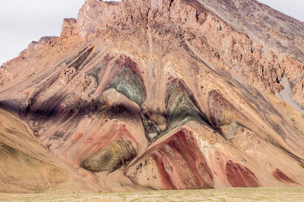
Some days you saw nothing but mountains, more mountains, different mountains (so that you ended up noticing how diverse the rock and earth structure can be), animals, horses, cows, yaks, sheep and goats, even camel, some wild animals and humans tending to animals, tending to nature, tending to people, and then again, mountains and lakes with varying altitudes, sometimes at 3500 m, where it seemed like you were on the rooftop of the world.
All you had there was nature, pure, unadulterated, peaceful but austere, and it is that austerity that showed authenticity of life, life in the mountains. You felt purified, cleansed, stripped off from your default mode always preoccupied with something mind. You felt the immensity of nature and your smallness in this vastness.
You said: “I feel small” and I replied with a smile: “This is our natural state to feel small before such greatness”.
Too often, we feel big before we feel sufficiently small and this is because we lack real greatness in our lives.
The cherry on the cake was the night sky and the most exquisite view of the giant Milky Way.
But that shall remain a personal secret in the chest of the one who saw, the one who gazed at it for hours before dream drifting in a circle of a yurt.
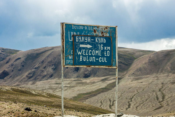
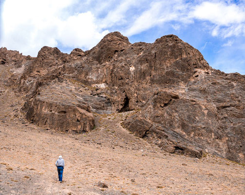
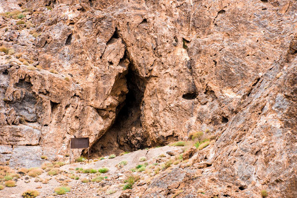
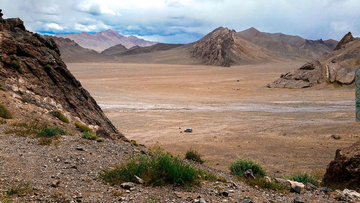
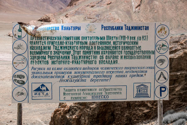
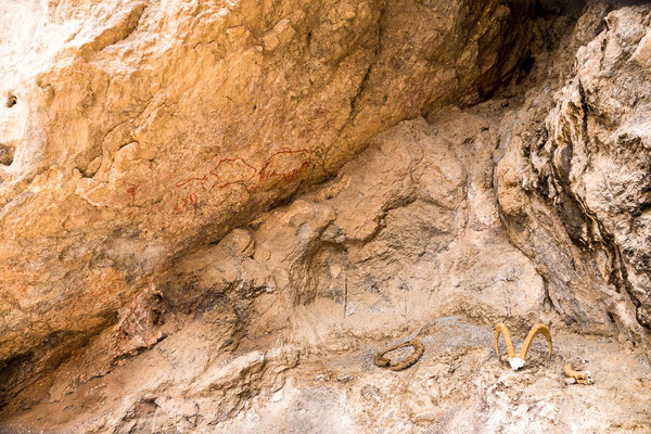
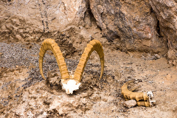
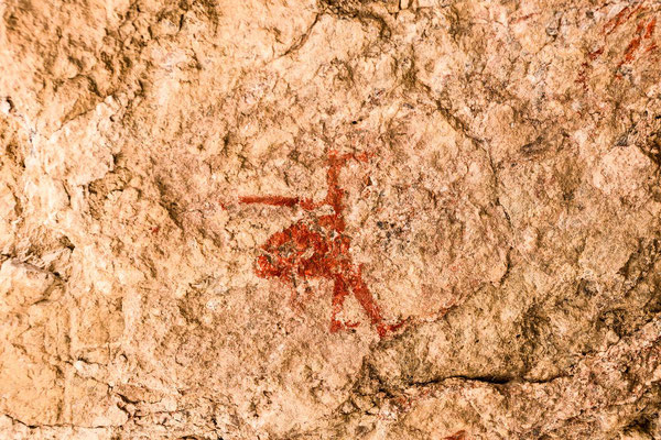
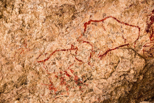
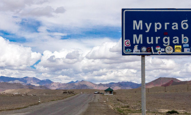
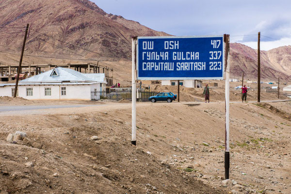
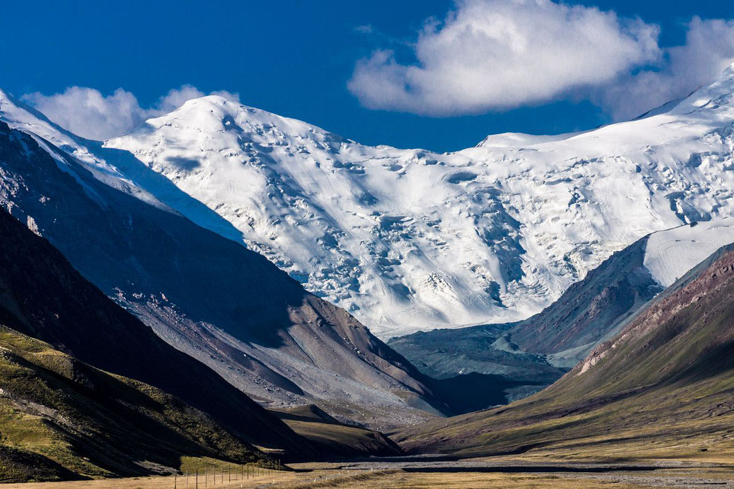
Alichur - Kengshiber - Murghab
Alichur - Kengshiber - View from Shakhty rock paintings


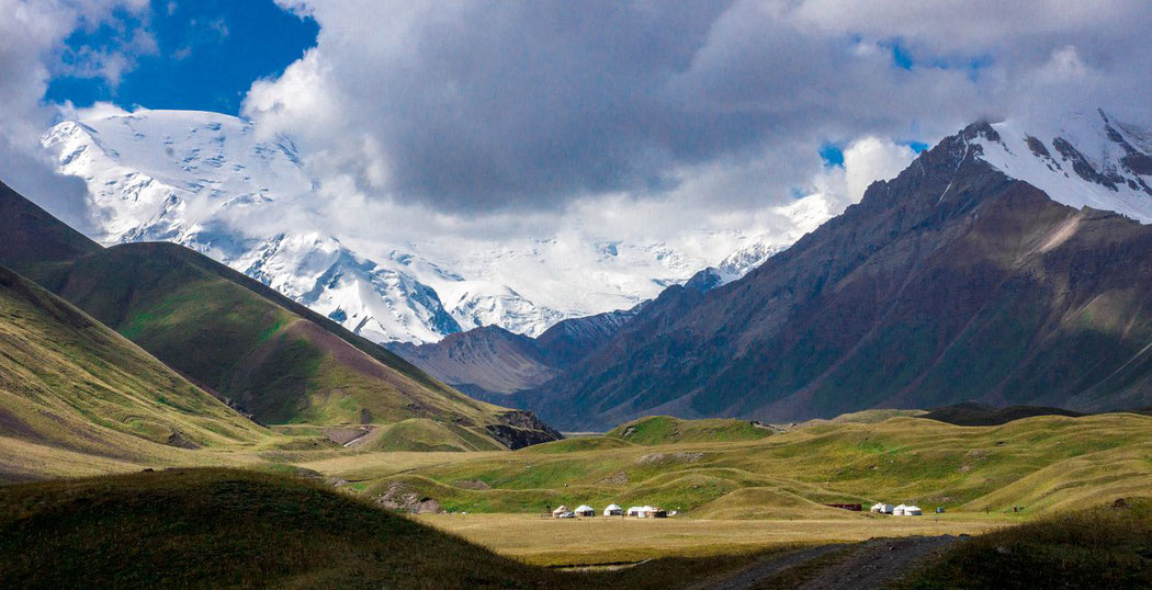
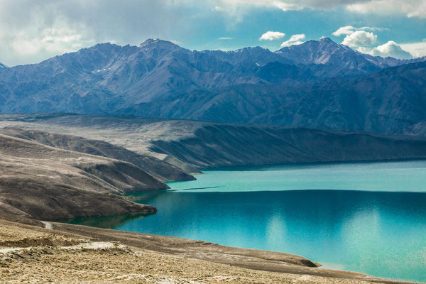
Lake Tulpar-Kul and Lenin Peak
The high-altitude mountain lake (3500 m) is located in Chon-Alay mountain range at Osh district, at the base of Lenin peak, which heights up to 7134 meters. Not far from it the village of Sary-Mogol and base camp of Achyk-Tash are located, in midst of Alai valley.
Village of Sary-Mogol offers horse-riding tours to the lake and surrounding areas, while Achyk-Tash is a base camp for those, who wishes to try themselves in alpinism, providing theoretical debriefing and sells ammunition for climbing.
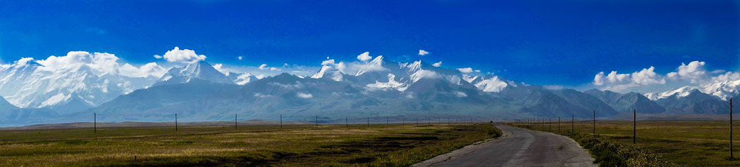
karakorum highway
Stunning view on the Mutzagh Ata (China)
that means: " Father of ice mountains " (Uyghur)
With an altitude of 7509 m, is the Muztagh Ata the third highest peak of the Pamir Mountains in the People's Republic of China.
The Muztagh Ata is located in the eastern part of the Pamir Mountains, west of the Xinjiang Uighur Autonomous Region of the People's Republic of China, about 150 km southwest of Kashgar and only about 30 km east of the Chinese-Tajik border, beyond this, among others, the famous Pamir Peak Pik Ismoil Somoni and Pik Lenin stand up. Together with the Kongur (7649 m), it towers over the Taklamakan Desert, visible from afar.
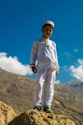
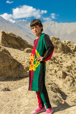
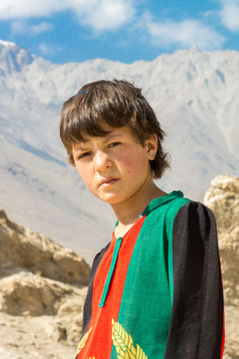
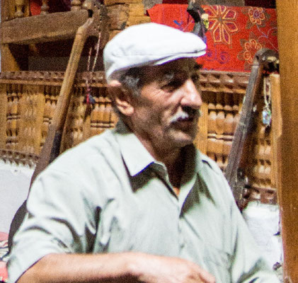
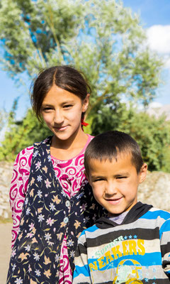
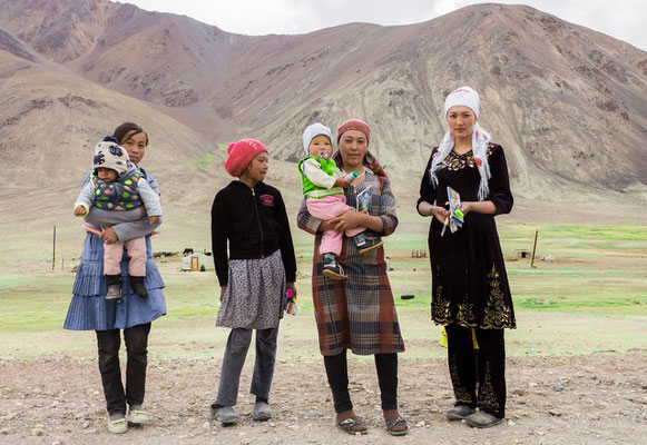
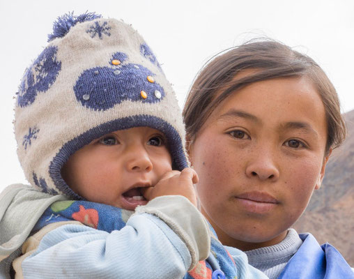
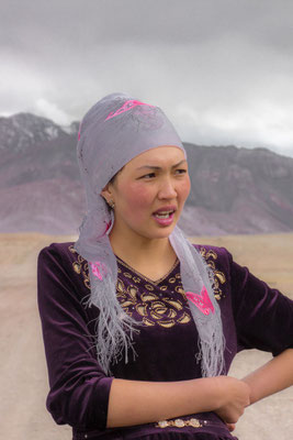
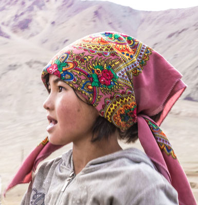
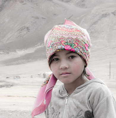
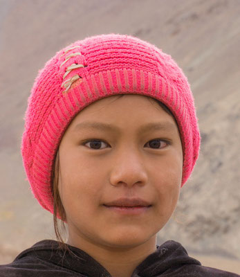
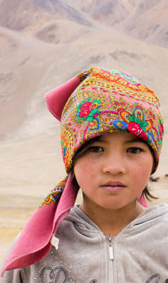
Click for a lot of portraits, snapshots
of people I met in Caucasus and on Silk Road